![]()
United
Nations
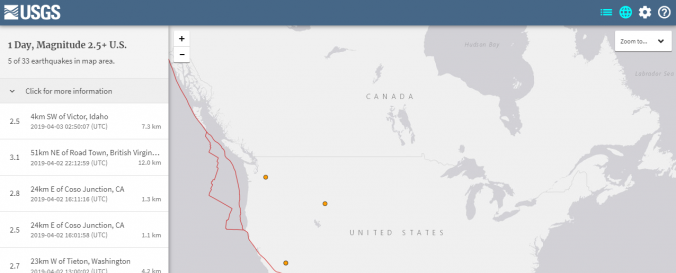
Earthquake Maps (Real Time Earthquake Map - USGS)
| Data provided by: | United States Geological Survey (USGS) |
| Data accessibility: | export data, export map, visualization of data (e.g. web GIS or real time monitoring) |
| Link to the data: | |
| Data type: | hazard specific data |
| Hazard: | Earthquake |
| Disaster cycle phase: | Disaster Risk Management, Response, Recovery |
| Space-based Information: | GOES |
| Spatial coverage: | Global |
| Temporal coverage: | Archive, Near-real time |
| Content dates: | 1900-present |
| Technical Specifications: | |
| Costs: | free |
| Contact: | Contact Form |
| Tutorials on the use of data: | Using the Latest Earthquakes Map and List, Help for Earthquake Search |
| Restrictions/ Citation of the dataset: |
Provider
![]()