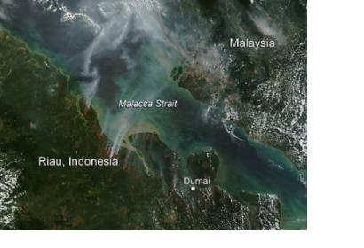
GFW-Fires is a new dynamic online platform for forest monitoring and fire alert system covering Southeast Asia by providing near-real time information and high-resolution satellite images. Thanks to this tool, fires can be precisely pinpointed in time and space and the impact of each one can be accurately measured and mapped, empowering people to better combat forest fires before they burn out of control.
Global Forest Watch Fires (GFW-Fires) was launched on 22 July in Jakarta, Indonesia, as the outcome of a partnership between World Resources Institute, DigitalGlobe, the Indonesian government, Google and Esri. GFW-Fires features near real-time satellite images from DigitalGlobe, fire alerts from NASA, a text messaging alert system, mapping of burn scars from Google Earth Engine, wind direction and air quality data, land-use and concession maps.
As a part of its Seeing a Better World™ Program, DigitalGlobe has tasked its five satellites to provide near real-time images of the fires at a remarkable 50 centimeter resolution and its sixth satellite —WorldView-3— launching in August will offer even finer 31 centimeter resolution. As the dry season continues in Southeast Asia the risk of new fires will remain high.

