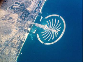
The Emirates Institution for Advanced Science and Technology (EIAST) celebrates the fifth anniversary of the 2009 launching of DubaiSat-1.
Significant achievements have been made since the satellite's 2009 launch including the capture of images for the Emirates Atlas depicting satellite images of the country. The atlas has been made available free of charge on the EIAST website while providing data from the satellites is provided to various systems and application including urban planning, monitoring climate change, assessing disasters, and supporting disaster relief missions.
DubaiSat-1 is the first phase of the EIAST’s triple integrated approach with its strategic partner Satrec Initiative to transfer knowledge and advanced technology.
“Our aim is to achieve goals that promote the UAE social and economic development through the exploitation of space science technologies and the development of our human capital, in line with the UAE Vision 2021 and the knowledge based economy,” said H.E. Yousuf Hamad AL Shaibani, Director General of EIAST.

