United
Nations
Office for Outer Space Affairs
UN-SPIDER Knowledge Portal
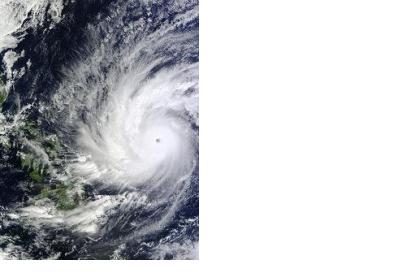
The International Charter Space and Major Disasters was activated on 4 December 2014 in order to assist the Philippines to face Typhoon Hagupit, known locally as Ruby.
The mechanism to provide satellite-based emergency maps was triggered by UNITAR/UNOSAT, on behalf of UN OCHA Philippines.
The Typhoon made landfall in the Philippines on 6 December. At that time it had weakened from Category Five, the highest category on the Saffir-Simpson scale, to Category Three. Notwithstanding, hundreds of thousands of people had to be evacuated and took refuge in emergency shelters or moved to safer locations during the storm.
In November 2013, the Category Five Typhoon Haiyan had devastating effects on the country, leaving over seven thousand dead and millions homeless.
This time, the early evacuation plan combined with a less destructive Typhoon prevented major losses of human lives and vital infrastructure.
