United
Nations
Office for Outer Space Affairs
UN-SPIDER Knowledge Portal
The Indian Space Research Organization (ISRO) analysed satellite images collected from the CartoSat-2 satellite in order to evaluate the damages caused by a landslide in the Indian states of Jammu and Kashmir.
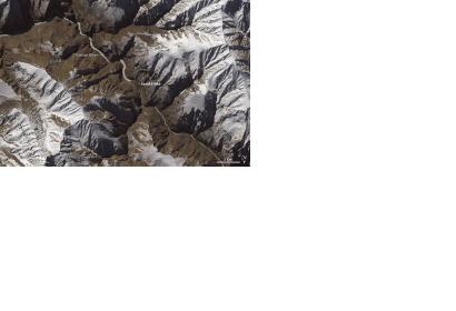
The landslide, which occurred on 31 December 2014, is blocking the Tsarap River which may lead to a damaging flood downstream. According to ISRO's evaluation, the earthen dam is about 600 meters long and about 60 meters high.
CartoSat-2 satellite imagery show that the artificial lake that formed behind the mound of debris blocking the river is nearly 8 kilometers long and covered about 55 hectares.
While the chance of a catastrophic flood is lower with the lake frozen, the risk will increase when temperatures rise in the spring. As a consequence, precautionary measures will be adopted by Indian authorities and civil protection agents recommended that people who live downstream move to higher ground.
