United
Nations
Office for Outer Space Affairs
UN-SPIDER Knowledge Portal
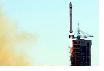
Four satellites were launched for harvest assessment, geological disaster prevention and resource surveys. Jilin-1 is called the mission led by China, which used a Long March-2D vehicle from the 603 Launch Pad at the Jiuquan Satellite launch Center’s LC43.
Jilin-1 includes four satellites to produce high-definition images that will contribute forecasting and mitigate geological disasters, among other purposes. The province aims to launch 60 satellites by 2020 and 138 until 2030. By 2019, 16 satellites are expected to be in orbit as a part of a network for remote sensing. This initiative will reach coverage on the entire globe, able to provide updated data every three to four hours.
The four satellites are: Jilin-1 to operate on a 656 km sun synchronous orbit; Lingqiao-A and Lingqiao-B meant to capture videos with a 4K ultra-clear video resolution; and the micro-satellite LQSat for technology demonstration designed by CIOMP.
