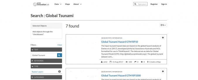
| Space-based Information: | The input tsunami hazard data are based on the global hazard analysis of Davies et al. (2017), developed jointly by Geoscience Australia and NGI, formatted for use in ThinkHazard!. The data serves as data for Global Tsunami Model (GTM, http://globaltsunamimodel.org/). The global tsunami dataset contains maximum inundation heights, calculated at offshore hazard points and projected to shoreline by simple interpolation. Tsunami Maximum Inundation Height (MIH) is defined as the largest elevation the tsunami reaches above still water level, consistent with IOC-UNESCO terminology. The MIH hazard data are at global level for return periods: 10, 50, 100, 200, 500, 1000, and 2500 year. Values above and below extreme values, are referred to as >=20 m and <=0.1 m, respectively. |

