![]()
United
Nations
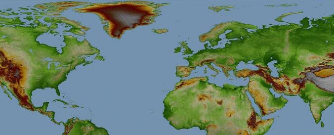
WorldDEM™ (AIRBUS)
| Data provided by: | Airbus Defence & Space |
| Data accessibility: | export data, web processing/cloud computing |
| Link to the data: | |
| File type: | GeoTIFF |
| Data type: | elevation |
| Disaster cycle phase: | Disaster Risk Management |
| Space-based Information: | WorldDEM™ is the product of the TanDEM-X Mission (Terra-SAR-X add-on for Digital Elevation Measurements), realised as a Public Private Partnership (PPP) between Airbus Defence and Space and the German Aerospace Centre (DLR). Airbus Defence and Space holds the exclusive commercial marketing rights for the data and refines the elevation models according to the needs of commercial users worldwide The WorldDEM DTM is derived from the WorldDEM™ Digital Surface Model (DSM) product by removing vegetation and man-made objects to show the bare terrain of the Earth’s surface. This high-quality WorldDEM DTM provides a foundation layer for applications such as civil engineering (e.g. road design, Earth work calculation), the management of natural resources as well as planning and implementation of military operations (e.g. vehicle trafficability analysis, 3D terrain visualisation). |
| Satellites and Sensors: | TerraSAR-X |
| Spatial coverage: | Global |
| Spatial resolution: | 2m (relative) / 4m (absolute) vertical accuracy in a 12m x 12m raster |
| Costs: | paid |
| Contact: | Airbus Defence & Space |
| Tutorials on the use of data: | Recommended Practice: Storm Surge Coastal Flood Modelling |
Provider
![]()