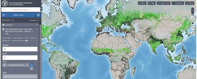
Hand-in-Hand geospatial data platform (FAO)

| Data provided by: | Food and Agriculture Organization of the United Nations (FAO) |
| Data accessibility: | statistical data (e.g. graphs), visualization of data (e.g. web GIS or real time monitoring) |
| Link to the data: | |
| File type: | wms |
| Data type: | baseline data, hazard specific data, land use, land cover data |
| Hazard: | Insect Infestation, Epidemic, Drought |
| Disaster cycle phase: | Disaster Risk Management, Response, Recovery |
| Space-based Information: | The online platform features over one million geospatial layers and thousands of statistics series related to food security, crops, soil, land, water, climate, fisheries, livestock, forestry and more. It also includes information on COVID-19's impact on food and agriculture. |
| Spatial coverage: | Global |
| Temporal coverage: | Archive, Near-real time |
| Costs: | free |
| Tutorials on the use of data: | FAO Hand in Hand Geospatial Platform |

