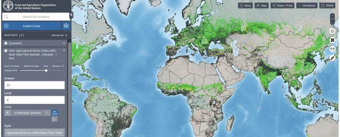
Hand-in-Hand geospatial data platform (FAO)

| Data provided by: | Food and Agriculture Organization of the United Nations (FAO) |
| Data accessibility: | Datos estadísticos (ej. gráficos), Visualización de datos (ej. web SIG o monitoreo en tiempo real) |
| Link to the data: | |
| File type: | wms |
| Data type: | Línea base, Datos sobre amenazas específicas, Datos sobre el use suelo, cobertura del terreno |
| Hazard: | Insect Infestation, Epidemic, Drought |
| Disaster cycle phase: | Gestión des Riesgo por Desastres, Respuesta, Recuperación |
| Space-based Information: | The online platform features over one million geospatial layers and thousands of statistics series related to food security, crops, soil, land, water, climate, fisheries, livestock, forestry and more. It also includes information on COVID-19's impact on food and agriculture. |
| Spatial coverage: | Global |
| Temporal coverage: | Archivado, Casi en tiempo real |
| Costs: | Gratis |
| Tutorials on the use of data: | FAO Hand in Hand Geospatial Platform |

