![]()
United
Nations

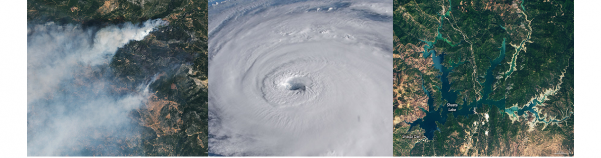
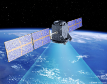
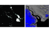
¿Cómo se puede emplear la tecnología espacial en caso de desastres?
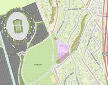
¿Dónde puedo acceder a datos satelitales y otros recursos?
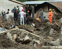
¿Quiénes son los usuarios de la tecnología espacial para los desastres?
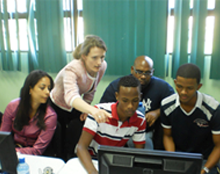
¿Qué es lo que ONU-SPIDER puede proporcionar a los Estados Miembros?
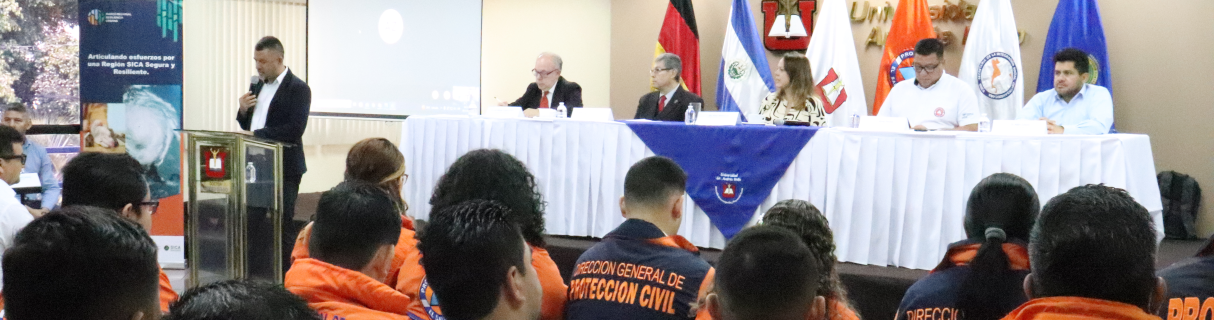
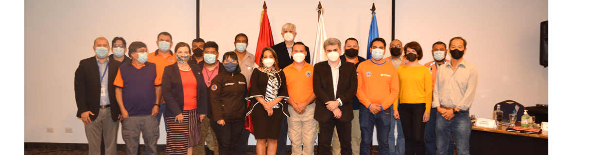
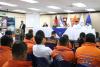
Noticias


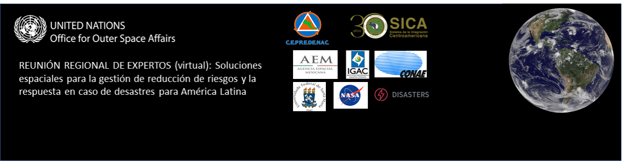
Próximos eventos


![]()