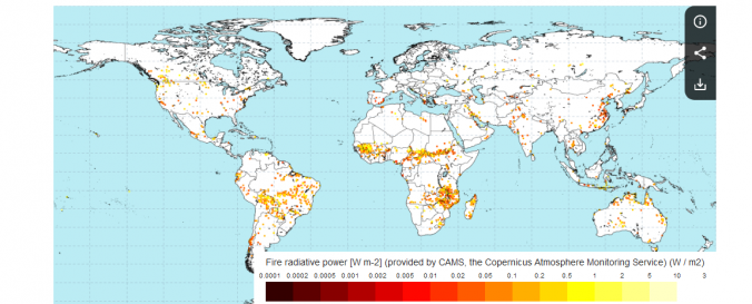
| Space-based Information: | The Copernicus Atmosphere Monitoring Service (CAMS) uses near-real-time observations of the location and intensity of active wildfires to estimate the emissions of pollutants. This is done through its Global Fire Assimilation System (GFAS). This allows active fires to be monitored and their estimated emissions to be used in the CAMS forecasts to predict the transport of the resulting smoke in the atmosphere. The forecasts are used in air quality apps, to help people limit their exposure to pollution, and by policymakers and local authorities to manage the impact of fires. |


