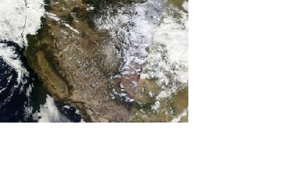
On Friday, 13 September 2013, the International Charter "Space and Major Disasters" was activated for the ongoing heavy floods in the US state of Colorado. The mechanism to provide up to date satellite imagery was activated by USGS on behalf of National Guard Bureau/State of Colorado. USGS will also do the project management for this activation.
Storm rains had caused the flooding. Thousands of people have been advised to evacuate and at least three people have been killed. Boulder County has been most affected, where water levels are continuing to rise and roads have been cut off by floodwaters and debris. Houses have been inundated or demolished by the powerful streams of water and it has been reported that some towns have been isolated by the flooding, including Jamestown, Lyons and Longmont which have been turned into islands by the sheer amount of water.

