United
Nations
Office for Outer Space Affairs
UN-SPIDER Knowledge Portal
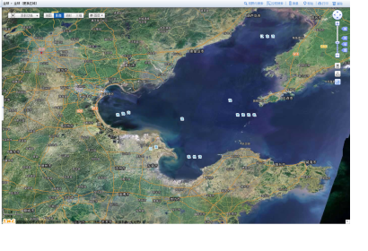
China has established a national emergency geospatial data system to provide first-responders with detailed maps within two hours after a disaster, as the Chinese news agency Xinhua reported. The data system is based on satellite data, as well as information collected by unmanned planes and surveying instruments. It uses Map World (the Chinese version of Google Earth).
Xinhhua reported: "The national geospatial data system was established after April 20, when a magnitude-7.0 earthquake rocked Ya'an, Sichuan province. Only two hours after the quake, the National Administration of Surveying, Mapping and Geoinformation produced its first detailed map of the region. That set in motion a wave of support for the national agency from the central government. By comparison, it took nearly nine hours for a map to be produced after the 2008 Wenchuan earthquake, which means mapping technology at the national agency has vastly improved.
"In fighting with disasters such as earthquakes and mudslides, providing timely mapping support for affected regions is crucial," said Xu Deming, director of the National Administration of Surveying, Mapping and Geoinformation.
