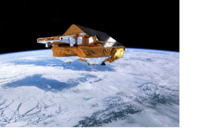
During 5 and 6 December 2013, a major storm passed through northern Europe coinciding with a period of high tides in the North Sea and resulting in extremely high sea levels – a ‘storm surge’. The effects of the storm surge resulted for the United Kingdom in the highest sea levels since the 1953 North Sea Floods, while parts of Hamburg were flooded in Germany. ESA’s CryoSat satellite passed over Kattegat and its radar altimeter measured the storm surge, providing an estimate of total water levels. The observations collected matched predictions, which helped to confirm the models.
Realistic storm surge models can play a crucial role when natural disasters strike. Proof of their importance was recently demonstrated by the devastation caused by Typhoon Haiyan in south Asia. “Even a small improvement to a storm surge model can have a significant impact in terms of the accuracy of warnings, and the potential to protect lives and property,” noted Kevin Horsburgh from the UK’s National Oceanography Centre.
Nevertheless until recently, altimeter measurements of sea-level height were affected by land interference and therefore could only be made over open oceans. However, recognizing the potential benefits progress has been made in reducing these effects, allowing scientists to map water levels closer to the coast like in the case of this storm surge.

