![]()
United
Nations
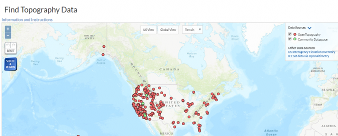
Open Topography Data and Tools (NSF)
| Data provided by: | National Science Fundation (NSF) |
| Data accessibility: | export data, export map |
| Link to the data: | |
| Data type: | elevation |
| Disaster cycle phase: | Disaster Risk Management |
| Space-based Information: | Airborne Information |
| Spatial coverage: | United States of America |
| Spatial resolution: | 1.00 |
| Temporal coverage: | Archive |
| Content dates: | 2002-present |
| Costs: | free |
| Tutorials on the use of data: | Introduction to LiDAR, Tutorials & Video |
| Restrictions/ Citation of the dataset: | Get in touch with Open Topography to get info about the Terms of Use of the products. |
Provider
![]()