![]()
United
Nations
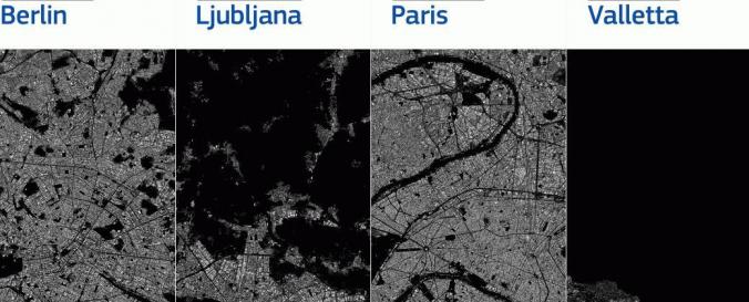
Global Human Settlement Layer (GHSL - JRC)
| Data provided by: | Joint Research Centre (JRC) |
| Data accessibility: | export data, export map |
| Link to the data: | |
| Data type: | satellite data or aerial image |
| Disaster cycle phase: | Disaster Risk Management, Response, Recovery |
| Spatial coverage: | Global |
| Spatial resolution: | 10 - 500 |
| Costs: | free |
| Tutorials on the use of data: | Mapping human settlements from space |
Provider
![]()