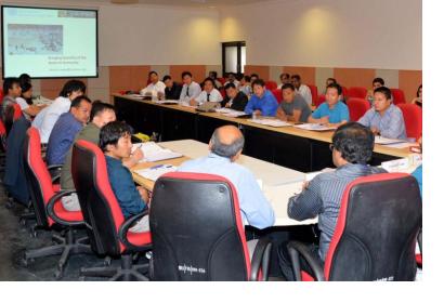
On 13 April 2015, UN-SPIDER and UNDP Bhutan kicked off a training course for Bhutanese officials on "Response and recovery preparedness". The course will be held until 17 April at the Centre for Space Science Technology Education in Asia and the Pacific (CSSTEAP) in Dehradun, India.
The course is following up on a recommendation of the UN-SPIDER Technical Advisory Mission to Bhutan in November 2014. Its goal is to strengthen Bhutan's capacities to use satellite imagery for disaster management. The course will enhance the capacity of Bhutanese officials on disaster preparedness, response and recovery at national and local levels and mitigating the impacts on people’s life and livelihoods when they are hit by disasters, thereby contributing to long-term disaster risk reduction in the country.
The training programme includes topics such as setting up a national spatial data infrastructure, forest fire and landslide assessment as well as the use of Space-based information for emergency response and post-disaster impact assessment.
The participants include representatives of relevant agencies in Bhutan including the Department of Disaster Management, the National Land Commission, the Forest Fire Division or the Department of Hydro-Meteorological Services. AirBus is providing pre- and post-disaster satellite imagery in high resolution for the training sessions.

