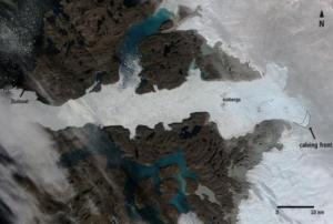
Scientists from 50 scientific institutions, led by the National Aeronautics and Space Administration (NASA) and the European Space Agency (ESA) combined 26 independent satellite datasets to show that the Greenland Ice Sheet melt is increasing. The group studied data from 1992 to 2018, taking direct measurements of the continent-sized glacier. The study found that decade averages for ice melt has increased sevenfold from the 1990s.
The report shows that 1992 to 2002 averaged 1mm/decade in melt, 2008 to 2018 increased to a 7mm/decade loss. The research pulled from USGS’s Landsat mission, the oldest open-access Earth observation data. The total was also calculated using space-based gravity measurements - which measures total mass on the world’s largest island - integrated with remotely sensed height…
more