![]()
United
Nations
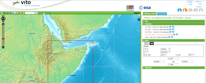
VITO Earth Observation
| Data provided by: | VITO |
| Data accessibility: | export data |
| Link to the data: | |
| Data type: | land use, land cover data, satellite data or aerial image |
| Hazard: | Drought |
| Disaster cycle phase: | Disaster Risk Management, Response, Recovery |
| Satellites and Sensors: | Sentinel-2A, Proba-V, SPOT 5 |
| Spatial coverage: | Global |
| Spatial resolution: | 100-1000 |
| Temporal coverage: | Archive, Near-real time |
| Costs: | free |
| Contact: | Contact us |
| Tutorials on the use of data: | PROBA-V User Manual, VITO SENTINEL-2 PRODUCTS USER MANUAL |
| Restrictions/ Citation of the dataset: |
Provider
![]()