| Data accessibility: | export data, visualization of data (e.g. web GIS or real time monitoring), web processing/cloud computing |
| Data type: | baseline data, elevation, hazard specific data, land use, land cover data, satellite data or aerial image |
| Disaster cycle phase: | Disaster Risk Management, Response, Recovery |
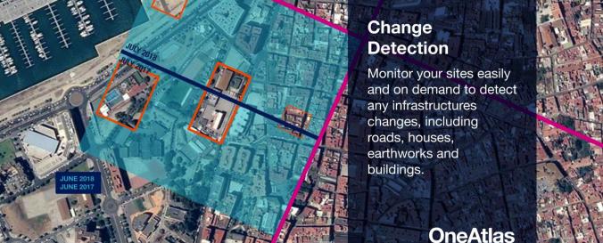
| Space-based Information: | OneAtlas is a collaborative environment to easily access very high resolution imagery, perform large-scale image processing, extract industry specific insights and benefit from Airbus assets to develop solutions. The services include infrastructure change detection, vehicle detection & counting and will soon cover aircraft detection and land use change detection as well . Airbus provides the services through a buy-what-you-need option. It is possible to test the functionalities with a 30-days Free Trial. |
| Spatial coverage: | Global |
| Spatial resolution: | 0.5-40 m |
| Temporal coverage: | Archive, Near-real time |
| Content dates: | 2012-present |
| Technical Specifications: | |
| Costs: | paid |

