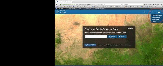
MOD13Q1 Terra and Aqua
Data provided by: | Earth Observing System Data and Information System (EOSDIS) |
Data accessibility: | export data, export map, visualization of data (e.g. web GIS or real time monitoring) |
Link to the data: | |
File type: | hdf, tiff |
Data type: | baseline data
, hazard specific data
, land use, land cover data
, satellite data or aerial image
|
Hazard: | Invasion d’insectes, Incendie, Sécheresse, Eruption volcanique, Tremblement de terre, Mouvement de masse, Tsunami, Inondation, Pollution |
Disaster cycle phase: | Disaster Risk Management, Response, Recovery |
Space-based information: | m |
Satellites and Sensors: | Terra, Aqua |
Spatial coverage: | Global |
Temporal coverage: | Archive, Near-real time |
Technical Specifications: | n/a |
Costs: | free |
Tutorials on the use of data: | MOD13 User guide, MODIS Vegetation Index User Guide |
Restrictions/ Citation of the dataset: | |
|
|
,
Data provided by: | NASA Goddard Earth Sciences (GES) |
Data accessibility: | export data, export map, visualization of data (e.g. web GIS or real time monitoring) |
Link to the data: | |
File type: | hdf, tiff |
Data type: | baseline data
, hazard specific data
, land use, land cover data
, satellite data or aerial image
|
Hazard: | Invasion d’insectes, Incendie, Sécheresse, Eruption volcanique, Tremblement de terre, Mouvement de masse, Tsunami, Inondation, Pollution |
Disaster cycle phase: | Disaster Risk Management, Response, Recovery |
Space-based information: | m |
Satellites and Sensors: | Terra, Aqua |
Spatial coverage: | Global |
Temporal coverage: | Archive, Near-real time |
Technical Specifications: | n/a |
Costs: | free |
Tutorials on the use of data: | MOD13 User guide, MODIS Vegetation Index User Guide |
Restrictions/ Citation of the dataset: | |
|
|
Zircon - This is a contributing Drupal Theme
Design by
WeebPal.