![]()
United
Nations
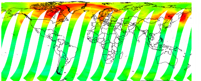
Aerosol Profile (WDC-RSAT - DLR)
| Data provided by: | World Data Center for Remote Sensing of the Atmosphere (WDC-RSAT) |
| Data accessibility: | export data, export map, statistical data (e.g. graphs), visualization of data (e.g. web GIS or real time monitoring) |
| Link to the data: | |
| Hazard: | Volcanic Eruption, Pollution |
| Disaster cycle phase: | Disaster Risk Management, Response, Recovery |
| Space-based Information: | AATSR, ACE,AIRS , AMSR, AMSU, ATOVS/TOVS, AVHRR, AVHRR3 , CALIPSO ,CRISTA, GOME, GOME-2, GOMOS, HALOE, HIRDLS ,IASI , MAS, MERIS , MHS, MIPAS , MISR , MLS , MODIS , MOPITT , OMI, OSIRIS, POAM ,SABER ,SAGE , SBUV , SCIAMACHY, SEVIRI, TES, TMI ,TOMS , VIRS, WINDII, , |
| Spatial coverage: | Global |
| Spatial resolution: | 250.00 |
| Temporal coverage: | Archive, Forecasted, Near-real time |
| Content dates: | 1991-2014 |
| Technical Specifications: | |
| Costs: | free |
| Contact: | Contacts |
| Restrictions/ Citation of the dataset: |
Provider
![]()