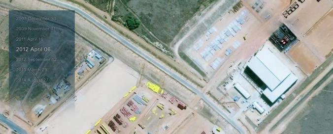
Very high resolution optical satellite imagery (Digital Globe)

| Data provided by: | DigitalGlobe |
| Data accessibility: | export map |
| Link to the data: | |
| Data type: | elevation, satellite data or aerial image |
| Hazard: | Epidemic, Forest Fire, Drought, Mass Movement, Earthquake, Tsunami, Volcanic Eruption, Flood, Severe Storm, Extreme Temperature, Pollution |
| Disaster cycle phase: | Disaster Risk Management, Response, Recovery |
| Satellites and Sensors: | WorldView-1, WorldView-2, IKONOS, GeoEye-1 / OrbView-5, QuickBird-2 (BGIS2000) |
| Spatial coverage: | Global |
| Spatial resolution: | 0.03 - 30 |
| Temporal coverage: | Archive, Near-real time |
| Technical Specifications: | |
| Costs: | paid |
| Restrictions/ Citation of the dataset: | Information request here you go |

