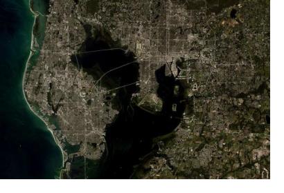
A new study highlights the need to complement existing in situ observing systems for monitoring coastal zone changes by observations from space. The authors argue that this will lead to an improved understanding of the coastal systems that remain poorly known and mostly unsurveyed on a global scale and to a better provision of useful information to decision-makers in the case of natural hazards like flooding.
According to the study satellites have an enormous potential to observe and characterize forcing agents like regional sea level change, winds, waves et cetera on coastal zones. However, in many cases their instruments are not adapted to the special conditions of coastal zones because satellite altimetry is optimized for the open ocean - in practice they perform poorly within 10 kilometers of the coast because land masses contaminate the data.
Even though the use of new altimetry techniques and the progress in reprocessing radar waveforms in coastal areas has enabled the satellite community to develop new coastal altimetry data sets, the coverage remains uneven around the globe. Therefore, the authors suggest that a consistent gridded coastal altimetry database with global coverage be constructed and coupled with in situ measurements. In order for the research to provide insight into the future change of coastal areas, modeling and synthesis activities must accompany the measurements. In addition, international efforts such as the World Climate Research Programme should consider establishing a data repository gathering all needed coastal observations, whether collected locally or through satellite remote sensing.
The authors expect that the Surface Water and Ocean Topography (SWOT) satellite mission planned for launch in 2021 is one of the initiatives that will considerably improve the observation of forcing agents on coastal zones.

