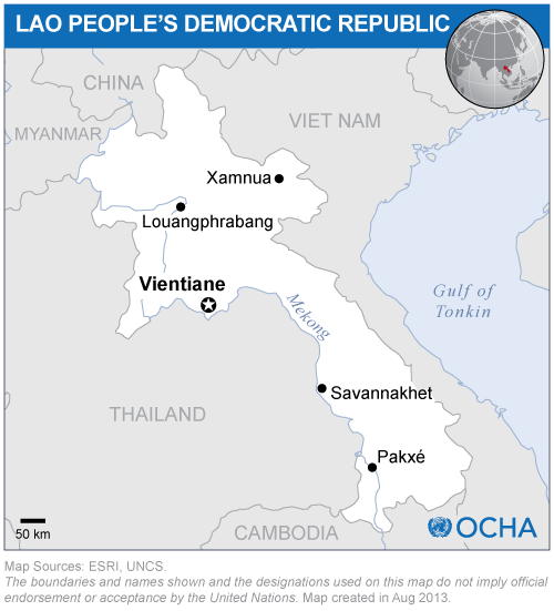
This activity was a follow-up of the UN-SPIDER technical advisory mission to Lao People’s Democratic Republic and took place from 25 to 29 July 2016 in Vientiane.
The follow up activity was organized from 25-29 July 2016 and included:
(a) A technical meeting with key stakeholders organizations involved in the generation of geospatial information;
(b) A high-level advocacy meeting involving decision makers and political leaders;
(c) A training programme on “Space-based technologies exploring the use of Earth observation data and modelling tools in flood risk mapping and flood early warning” with the UN-SPIDER Regional Support Office, International Water Management Institute based in Sri Lanka; and
(d) The formation of a voluntary association named “National Geospatial Information Utilization and Management” (LaoNGUM), which is a voluntary initiative offering a platform to address technical issues related to geospatial information generation, sharing and dissemination.
The results of the technical advisory mission were presented and the report, translated in Laotian language, was distributed to the participants of all meetings.