![]()
United
Nations
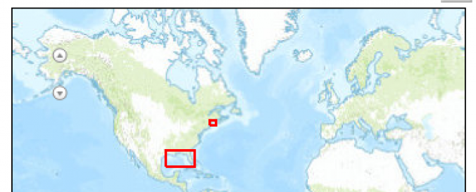
Oil Spill Risk Map (NOAA)
| Data provided by: | NOAA Pacific Tsunami Warning Center (PTWC) |
| Data accessibility: | export data, export map |
| Link to the data: | |
| Data type: | hazard specific data |
| Hazard: | Pollution |
| Disaster cycle phase: | Disaster Risk Management, Response, Recovery |
| Space-based Information: | Ground-Based Information |
| Spatial coverage: | Northern America |
| Spatial resolution: | 1.00 |
| Temporal coverage: | Archive |
| Content dates: | 1996-2010 |
| Costs: | free |
| Contact: | Contact NOAA |
| Tutorials on the use of data: | Learn about the basic elements of ESI maps, Sample of ESI Atlas |
| Restrictions/ Citation of the dataset: |
|
Provider
![]()