The training date is in the past. However, videos and resources of the training can be accessed here.
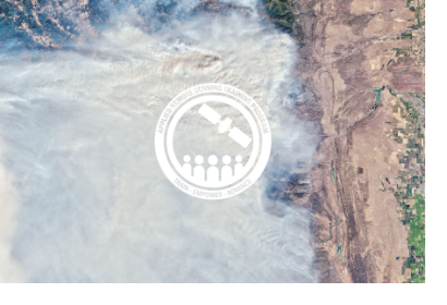
Fires are a growing concern, especially in regions with longer fire seasons, expanded wildland/urban interfaces, and severe and frequent droughts. Anthropogenic fires are commonly used to clear grassland and agricultural land prior to the planting season, and forests are often cleared using fires so the land can be repurposed for other uses. Whether naturally-occurring or anthropogenic, fires produce a significant change in the structure and reflectance of vegetation and soil properties and atmospheric chemistry. Remote sensing can be used to monitor pre-, during-, and post-fire conditions; including weather and climate conditions, fuel characterization, fire risk, smoke detection, monitoring, and forecasting, fire behavior, and the post-fire landscape. This 6-part, intermediate training will provide lectures and case studies focused on the use of Earth observations for operational fire monitoring: pre-, during-, and post-event.
By the end of this training attendees will understand:
Terminology regarding type and components of fire (pre, during, post)
Climatic and biophysical conditions pre-, during-, and post-fire
The satellites and instruments used in conducting fire science
The applications of passive and active remote sensing for fires
How to visualize fire emissions and particulate matter
The use of tools for active fires, emissions, and burned areas
How to acquire data for conducting analysis in a given study area
This training is primarily intended for local, regional, state, federal, and international organizations involved in resource and ecosystem management, health and air quality, disaster risk management, disaster response, and those with an interest in applying remote sensing to fire science.