The European Space Agency (ESA) is working together with the University of Nottingham from United Kingdom, to measure in real time potential movements in large structures, taking as model the Forth Road Bridge in Scotland.
The team has used satellite navigation sensors that can detect movements as small as 1 cm. These measurements could help to decide if a bridge should be closed in case of extreme weather.
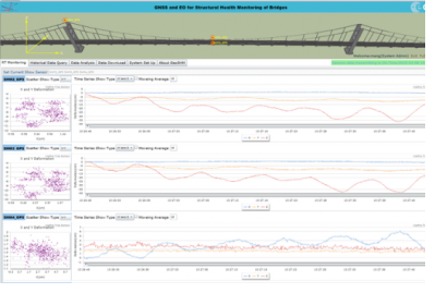
During the process, the measurements collected by the sensors were continuously transmitted in real time via satellite to a processing centre at the university and made available via a web-based interface as part of GeoSHM, the project for Global Navigation Satellite System and Earth Observation for Structural Health Monitoring developed by the University of Nottingham with the support of ESA’s ARTES Integrated Applications Promotions programme.
“This information is extremely useful for understanding how much the bridge can move under extreme weather conditions. This allows us to decide to close the bridge based on precise deformation information, ” stated Barry Colford, chief engineer and bridgemaster at Forth Road Bridge.
While GeoSHM is designed mainly for monitoring bridges with a main span greater than 400 m, it also has potential for shorter bridges, such as Hammersmith Bridge and the Millennium Bridge in the UK.

