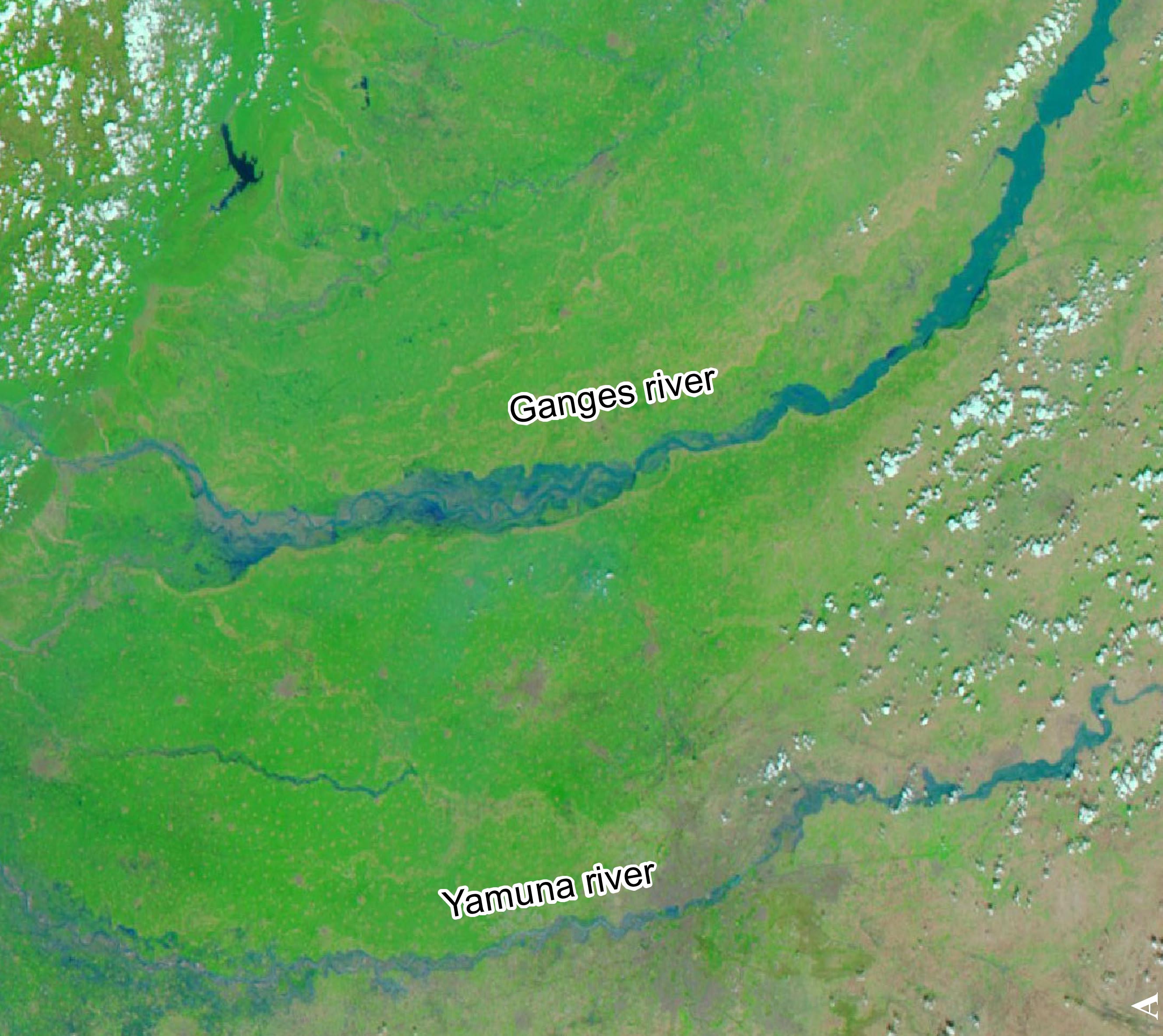
In June 2013, North India experienced heavy rainfall that triggered devastating floods and landslides in the states of Uttarakhand, Uttar Pradesh and Himachal Pradesh. The early monsoon rains causing the floods are believed to be the heaviest in 80 years. As of 24 June 2013, more than 600 people are confirmed dead while 80,000 have been rescued. BBC reported that thousands are still stranded in the holy pilgrimage site of Badrinath in higher Himalayan altitudes after flash floods hit the region last week.
UN-SPIDER's partner IWMI (International Water Management Institute) produced flood maps for Yamuna, Ghaghara and Ganga rivers and for the states of Uttarakhand and Uttara Pradesh using MODIS data from NASA Terra and Aqua satellites.
Further products are available on the Indian National Remote Sensing Centre's website.
The Crowdsource Mapping community has furthermore made available a crisis map via Google Crisis Response. KML files are available here.
