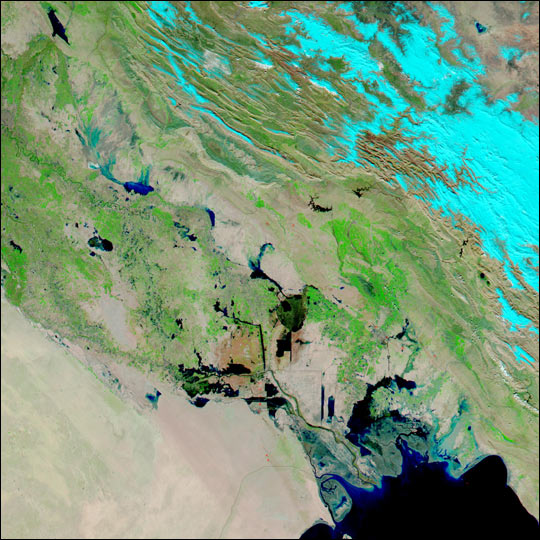
On 29 November 2013, the Iraqi government requested UN-SPIDER to provide satellite images to monitor and manage floods in Baghdad city. UN-SPIDER arranged to provide high resolution satellite images from China National Space Administration (CNSA). The Programme’s Regional Support Office in Pakistan (SUPARCO) carried out rapid mapping using SPOT images archive prior to the flood and post-flood images provided by the CNSA. The products were made available to the Disaster Management Information Centre, Remote Sensing Research Centre in Iraq.
Southern and central parts of Iraq were affected by heavy rain and gusty thunderstorms during the second half of November, resulting in flooding that swamped city streets, toppled buildings and took the lives of 11 people. During a 24 hour period from 19 to 20 November, 112 mm of rain fell in Karbala governorate in central Iraq, and 78 mm of rain fell in Amarah, Maysah governorate, in south eastern Iraq. The governorate declared a state of emergency and governor of Babel province, Sadeq Madlol al-Sultani, called for worship places to open their doors to those affected by the floods.
