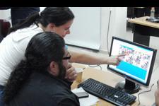
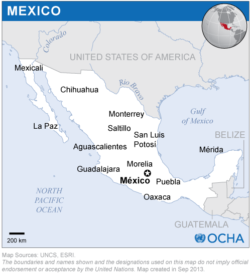
As a way to strengthen the knowledge and skills of professionals working in government agencies in Mexico, Belize, Guatemala and El Salvador on the use of radar imagery in case of floods, UN-SPIDER and CRECTEALC conducted a training course in the facilities of CRECTEALC in Puebla, Mexico. The instructors provided participants with a theoretical background regarding radar imagery and practical exercises.
Experts from the Argentinean Institute of Astronomy and Space Physics and from CATHALAC
12 participants from 10 government agencies from these four Mesoamerican countries representing civil protection agencies, ministries of Environment and Natural Resources; national commissions on forestry and water resources; geographic Institutes and national planning agencies
The instructors focused on the characteristics of radar images, on the peculiarities concerning their acquisition by specific satellites with such capabilities (orbital trajectory of acquisition, type of band, polarization mode), and on the features displayed in the images emerging from specific characteristics of microwaves; scatterers on the ground including forests, crops, and pastures; and specific conditions of the ground including roughness and permanent or intermittent presence of water (water bodies, swamps, marshes and wetlands). The course was complemented with practical exercises on the use of specific software packages such as NEST, ENVI, ERDAS Imagine, ArcGIS and MapReady to pre-process and then to process radar imagery to detect floods in various types of environments.
In addition, instructors made special emphasis on the detection of water using a variety of post-processing algorithms including speckle filtering, change detection using several images, and multi-temporal analysis. As data from optical sensors can also be used for detection of floods, the processing of radar imagery was also complemented with techniques to process optical imagery, including the generation of indices and other methods for determining extents of inundated areas. Participants also focused on detection of changes using imagery for their respective countries.