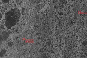
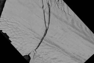
The Canadian Space Agency CSA in partnership with MacDonald, Dettwiler and Associates Ltd. MDA, and the Canadian Cryospheric Information Network (CCIN) at UWaterloo, have made public a mosaic of over 3,150 images collected by the RADARSAT-2 satellite. The images were captured with the Synthetic Aperture Radar aboard RADARSAT-2 in 2008 covering all of Antarctica.
The mosaic is now freely accessible to the public. “The mosaic provides an update on the ever-changing ice cover in this area that will be of great interest to climatologists, geologists, biologists and oceanographers,” said Professor Ellsworth LeDrew, director of the CCIN and a professor in the Faculty of Environment at Waterloo.
“The Polar Data Catalogue’s mandate is to make such information freely available to scientists, students and the...
more