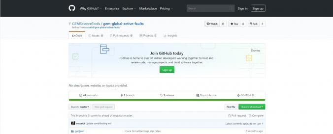
| Space-based Information: | From the source: The GEM Foundation's Global Active Faults project (GEM-GAF) is building a comprehensive, global dataset of active fault traces of seismogenic concern. The dataset comprises GIS files hosted here of fault traces and small amount of relevant attributes or metadata (fault geometry, kinematics, slip rate, etc.) useful for seismic hazard modeling and other tectonic applications. The dataset is being assembled primarily as a part of GEM's global Probabilistic Seismic Hazard Modeling efforts, although we hope that the data find wide use in research, education and general interest among many users. |


