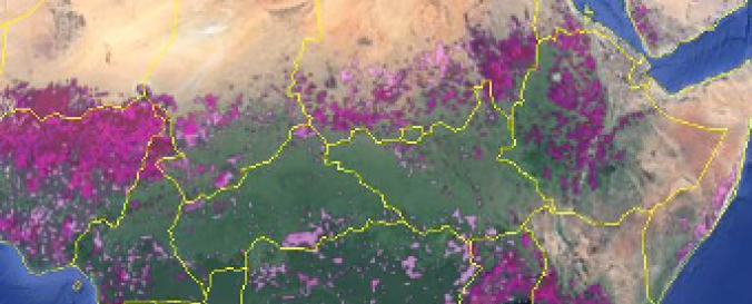
IIASA-IFPRI Cropland Map and Field Size Map (Geo-Wiki)

| Data provided by: | Geo-Wiki |
| Data accessibility: | export map |
| Link to the data: | |
| Requirements: | Need to register to access download link. |
| Data type: | land use, land cover data |
| Space-based Information: | Data provided via the Geo-Wiki in raw format, with no filtering or error checking applied. |
| Spatial coverage: | Global |
| Spatial resolution: | 1km |
| Temporal coverage: | Archive |
| Content dates: | 2005 |
| Costs: | free |
| Restrictions/ Citation of the dataset: | By downloading one of the provided datasets you agree to the Geo-Wiki disclaimer (http://geo-wiki.org/disclaimer). |
