![]()
United
Nations
Tropical Storm Risk (TSR - UCL)
| Data provided by: | UCL University College London |
| Data accessibility: | visualization of data (e.g. web GIS or real time monitoring) |
| Link to the data: | |
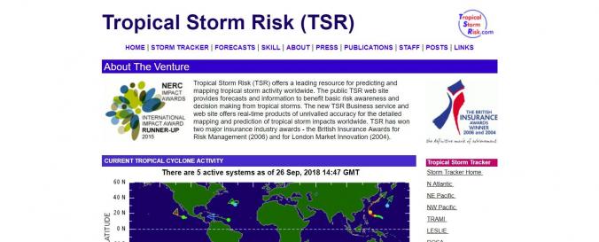
| Requirements: | The TSR Tropical Storm Tracker presents tropical cyclone data received from three tropical cyclone warning centers via the UK Met. Office DPDS service. Users can also register to obtain storm alerts. Near-real time data is presented on the website and seasonal forecasts are made separated by geographical region. Forecasts are separated by geographical region: Hurricanes: Atlantic ACE Index and USA and Caribbean Landfalling Typhoons: Northwest Pacific ACE Index and System Numbers Cyclones: Australian Region ACE Index, System Numbers and Landfalling STR presents the accuracy of its predictions through hindcast skill plots which are also available on their website. |
| Data type: | hazard specific data |
| Hazard: | Severe Storm |
| Disaster cycle phase: | Disaster Risk Management, Response, Recovery |
| Satellites and Sensors: | GOES- 8-15 (IMAGER), GOES-16 |
| Spatial coverage: | Global |
| Temporal coverage: | Archive, Forecasted, Near-real time |
| Content dates: | 1970 to date |
| Technical Specifications: | |
| Costs: | free |
| Contact: | Mark Saunders |
| Restrictions/ Citation of the dataset: | Copyright © 2018 UCL University College London, UK |
Provider
![]()