![]()
United
Nations
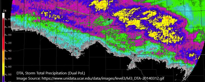
Unidata (UCAR)
| Data provided by: | University Corporation for Atmospheric Research (UCAR) |
| Data accessibility: | export data, export map |
| Link to the data: | |
| Requirements: | Institutional Registration |
| Data type: | baseline data, hazard specific data, satellite data or aerial image |
| Disaster cycle phase: | Disaster Risk Management |
| Spatial coverage: | Global, Northern America |
| Temporal coverage: | Archive, Forecasted, Near-real time |
| Technical Specifications: | |
| Costs: | free with restrictions |
| Contact: | Contact Information |
| Tutorials on the use of data: | Guidelines for Data Use |
Provider
![]()