![]()
United
Nations
Google Earth Engine (Google)
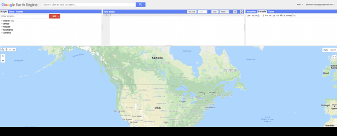
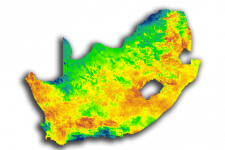
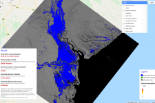
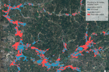
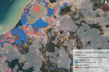
| Description: | Google Earth Engine (GEE) is a powerful web-platform for cloud-based processing of remote sensing data on large scales. It brings together the world's satellite imagery — trillions of scientific measurements dating back almost 40 years — and makes it available online with tools for scientists, independent researchers, and nations to mine this massive warehouse of data to detect changes, map trends and quantify differences on the Earth's surface. Applications include: detecting deforestation, classifying land cover, estimating forest biomass and carbon, and mapping the world’s roadless areas. The advantage lies in its remarkable computation speed, as processing is outsourced to Google servers. The platform provides a variety of constantly updated data sets, so no download of raw imagery is required. One of GEE's tools, the Earth Engine Code Editor, is a web-based integrated development environment which facilitates developing complex geospatial workflows. |
| Software type: | Web processing (cloud computing) |
| Accessibility: | Online |
| Requirements: | Google Earth Engine is free of charge. To use the Code Editor, however, one needs to register with a valid Google account. A confirmation usually comes within 2-3 work days. |
| Computer System: | Online |
| Scope: | Image processing, Visualisation |
| Vector/Raster: | Vector, Raster |
| Optical data or radar data format: | Optical, Radar |
| Costs: | Free |
![]()