![]()
United
Nations
MultiSpec
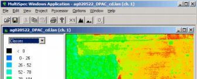
| Description: | MultiSpec (© Purdue Research Foundation) is a processing system for interactively analyzing Earth observational multispectral image data such as that produced by the Landsat series of Earth satellites and hyperspectral image data from current and future airborne and spaceborne systems such as AVIRIS. The primary objective of MultiSpec is as an aid to export the results of our research into devising good methods for analyzing such hyperspectral image data. It has also found significant use in other applications such as multiband medical imagery and in K-12 and university level educational activities. There are currently in excess of several thousand known, registered users. |
| Software type: | Database/Library |
| Costs: | Free |
![]()