United
Nations
Office for Outer Space Affairs
UN-SPIDER Knowledge Portal
The International Charter: Space and Major Disasters was activated on 12 June 2014 to provide satellite-based maps of the ongoing flood events in northern Argentina. The activation was requested by SIFEM-DNPC (Sistema Federal de Emergencias - Dirección Nacional de Protección Civil) and by our Regional Support Office in Argentina - the Comisión Nacional de Activitades Espaciales (CONAE).
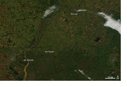
Heavy rainfall over South America during many days, caused water rise at record levels of the Parana River and its tributary, the Iguazu.
Water levels of the two Rivers continue to rise and are expected to peak in the next few days. Several cities on the watersides are currently on alert.
