Within the framework of its collaboration with the Algerian Ministry of Agriculture and Rural Development, the Algerian Space Agency (ASAL) - host to one of UN-SPIDER's Regional Support Offices - has mapped potential locust reproduction zones in the South of Algeria and the North-East of Mauritania. The experts analyzed the ecological conditions of the migratory locust for the period between 18 January and 3 February 2014. This activity was carried out at the request of the National Institute of Protection of Vegetation (INPV), which is in charge of fighting the locust infestation at the national level.
Thirteen satellite images with medium resolution (22 m), supplied by the British Disaster Monitoring Constellation UK-DMC-2, were processed for the maps. These images covered a total area of 935 671 square km in the South of Algeria (Wilayas of Illizi, Tamanrasset, Adrar and Tindouf) and the North-East of Mauritania. The medium resolution images allowed with good accuracy the identification of zones showing high chlorophyll levels. High chlorophyll levels indicate favorable conditions for the locust to reproduce, thus representing a high risk for the insects’ infestation to increase. Locust infestations are a great threat to local and regional agricultural production.
The analysis of the satellite images allowed to identify the following potential reproduction zones:
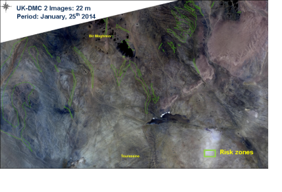
- In the North-East of Mauritania (Zone 1), the region of Bir Moghrein shows medium chlorophyll levels, mainly running along the Oueds (riverbeds).
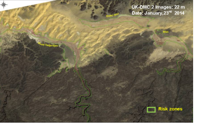
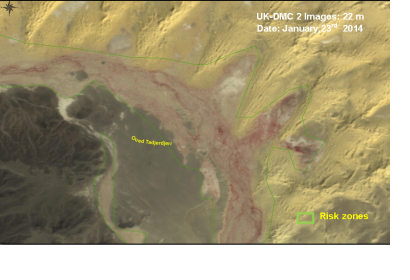
- In the South of Algeria (Zone 2), particularly the Wilaya of Illizi, the plant cover along the Oueds (riverbeds) shows low to medium chlorophyll activity.
This new analysis of the potential reproduction zones using satellite images is provided by ASAL to INPV as basic document to help them in their prevention activities in the concerned zones of Algeria and their adjacent regions. The INPV's conclusions will also be shared with the Food and Agricultural Organization (FAO).


