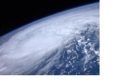
The Canadian Space Agency, in close cooperation with the Committee on Earth Observation Satellites (CEOS), continues to be a major contributor to the Caribbean Satellite Disaster Pilot (CSDP), which is GEO (Group on Earth Observations) project (GEO task DI-01-C5_1). During the 2012 Atlantic hurricane season RADARSAT-2 has captured some 70 high-resolution images to-date for rapid damage assessments over areas affected by hurricanes and severe tropical storms.
For the past three years RADARSAT-2 has proven a unique and valuable source of cloud-free and time-critical information for the CSDP partners in the Caribbean directly involved in hands-on national emergency management, research, and education. The Caribbean Disaster and Emergency Management Agency (CDEMA) and NASA play a coordinating role to ensure that the data collection and distribution is directed toward areas and organizations in need for timely geospatial information. Canadian RADARSAT-2 data sets for the CSDP were collected during Hurricane Ernesto and Hurricane Isaac in the eastern Caribbean over the British Virgin Islands, Antigua and Barbuda, Guadeloupe, Dominica, Martinique, Saint Lucia, Saint Vincent and Trinidad; detailed SAR data sets of western Caribbean locales were collected over the Cayman Islands, Cancun, Haiti, the Dominican Republic, and Jamaica. The CSA and Canadian EO industry generated rapid response image maps of local and regional flood events in Haiti to demonstrate the utility of the RADARSAT system under strict time constraints
For more information, please contact guy.aube [at] asc-csa.gc.ca (CSA CSDP Preparedness and Response Lead), stuart.w.frye [at] nasa.gov (CSDP Lead) and guy.seguin [at] asc-csa.gc.ca (CEOS, SBA Disaster Coordinator).

