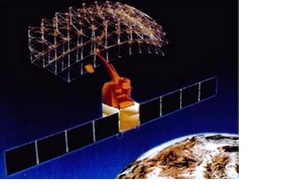
ERDAS announces that the National Disaster Reduction Committee and the Ministry of Environmental Protection, both in the People’s Republic of China , are now using ERDAS IMAGINE and ERDAS APOLLO to monitor environmental changes and improve disaster planning and response. This project will use remotely sensed data acquired from the HJ-1 satellite constellation.
Norcross, GA, USA — ERDAS announces that the National Disaster Reduction Committee and the Ministry of Environmental Protection, both in the People’s Republic of China , are now using ERDAS IMAGINE and ERDAS APOLLO to monitor environmental changes and improve disaster planning and response.
This project will use remotely sensed data acquired from the HJ-1 satellite constellation, named for the Chinese word for environment, ‘huán jìng.’ HJ-1 consists of the optical satellites HJ-1A and HJ-1B, both launched in September 2008, and the SAR satellite HJ-1C, expected to launch later in 2011.
HJ-1A carries a hyperspectral camera, HJ-1B carries an infrared sensor, and both include wide-view CCD cameras. Data collected with the HJ-1 satellite constellation will be used to monitor and forecast environmental changes and natural disasters. ERDAS IMAGINE is processing data collected by the constellation, and ERDAS APOLLO is managing and serving this data. Together, they form a complete Geospatial Business System for authoring, managing, connecting and delivering geospatial data products across the organization.

