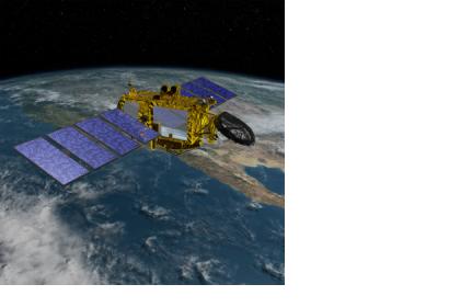
The French Space Agency CNES and the US Space Agency NASA have come together in an agreement to conduct the first ever detailed global ocean mapping and surface water survey. The two agencies will be working together in all aspects of the life cycle of a water and ocean surface satellite mission from the design of the spacecraft, its launch and operation during the mission and decommissioning.
CNES and NASA initially began joint studies for the mission in 2009 and the preliminary design phase is scheduled to be completed by 2016 with a launch planned for 2020.
“With this mission, NASA builds on a legacy of Earth science research and our strong relationship with CNES to develop new ways to observe and understand our changing climate and water resources… The knowledge we’ll gain from the Surface Water and Ocean Topography (SWOT) mission will help decision makers better analyze, anticipate, and act to influence events that will affect us and future generations,” said NASA Administrator Charles Bolden.
The spacecraft will be carrying payloads provided by both agencies to be used during the mission in order to produce high-resolution elevation measurements of the oceans, lakes, reservoirs, and wetlands surfaces and produce a more complete inventory of the planets lakes and track their changes worldwide.
CNES and NASA have a history of collaboration on ocean surface monitoring missions beginning in the 1980s.

