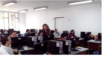
UN-SPIDER's Regional Support Office in Colombia, IGAC, has published a guide in Spanish for the use and processing of LDCM-Landsat 8 products. It was elaborated by IGAC's Centre Remote Sensing Group and Geographic Applications (CIAF), which is an unbiased, multi-disciplinary science organization that focuses on biology, geography, geology, geospatial information, and water, dedicated to the timely, relevant, and impartial study of the landscape, our natural resources, and the natural hazards that threaten Colombia.
NASA's Landsat programme represents the world's longest continuously acquired collection of space-based moderate-resolution land remote sensing data. Four decades of imagery provide a unique resource for those who work in agriculture, geology, forestry, regional planning, education, mapping, and global change research. Landsat images are also invaluable for emergency response and disaster relief.
For this reason the Centre Remote Sensing Group and Geographic Applications (CIAF) has started to use Landsat 8 products as a tool to obtain valuable data and imagery to be used in agriculture, education, business, science, and government. As a result produces a first guide in Spanish language for the use and processing of the LDCM-Landsat 8 products.
Download the Guide (in Spanish, 2.9 MB).
For more information, contact Department Leader Elena Posada (eposada [at] igac.gov.co (eposada[at]igac.gov.co)) or the author of this article Alexander Ariza (alexander.ariza [at] igac.gov.co (alexander.ariza[at]igac.gov.co))

