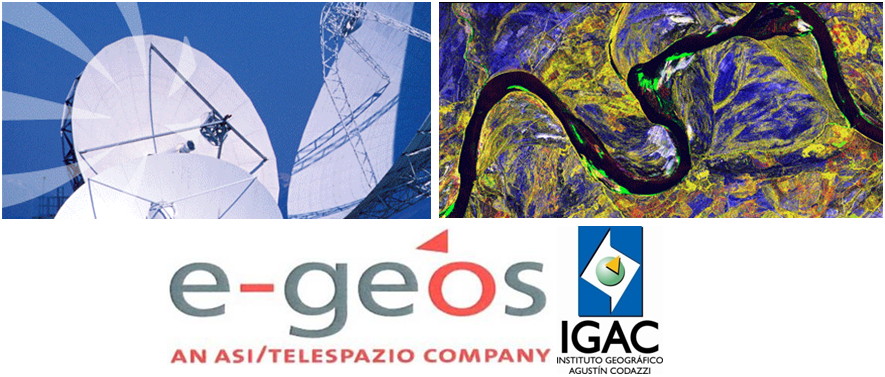
The Research and Investigation Centre of Remote Sensing and Geographic Applications (CIAF), which is part of UN-SPIDER's Colombian Regional Support Office IGAC, together with the support of the brand company Telespazio Geos (Telespazio) developed a training course on the interpretation of SAR images for application monitoring systems as a strategy to drive the research process and to update the knowledge database of active sensors. The course will take place between 10 and 13 June 2014.
The aim of the course will be to train participants in the processing of SAR images, particularly those from Cosmo SkyMed constellation of satellites, as a general basis for the use of SAR radar technology and its various applications.
The training course will cover aspects such as:
- Principles and foundations of SAR images
- Constellation data Cosmo - SkyMed
- SAR images composed
- Geometric correction of SAR images
- Calibration of SAR images
- SAR Image Filtering
- Multitemporal SAR applications (Coregistration images for change detection, agricultural monitoring, illicit crop monitoring, monitoring of mining, forest monitoring, flood monitoring) images
- Applications with data consistency (Interferometry)
- Generation of Digital Terrain Models (DTM) with interferometry
- Generating 3D Anaglyphs interpretation of DTM's