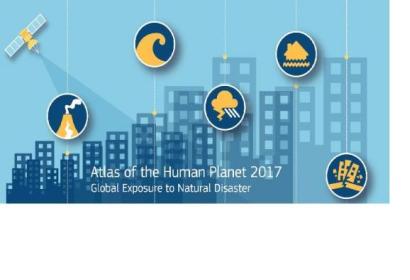
The 2017 edition of the Atlas of the Human Planet by the European Commission’s Joint Research Centre was presented during the 2017 Global Platform for Disaster Risk Reduction meeting in Cancun, Mexico. It looks at the exposure of people and built-up areas for six major natural hazards, and its evolution over the last four decades. The natural hazards included in the Atlas are: earthquakes, volcanoes, tsunamis, tropical cyclone winds, tropical cyclone storm surges, and floods. In a world where one out of three people is exposed to earthquakes, around 1 billion in 155 countries are at the mercy of floods, and 414 million are living near one of the 220 most dangerous volcanoes, data such as this becomes even more vitally important.
Global exposure to these hazards has seen its numbers double between 1975 and 2015 - both for built-up areas and population - mostly due to urbanization, population growth and socioeconomic development. Some of the hazards pose a threat to a particularly large number of people in different regions of the world. The exposure focuses on human settlements assessed through two variables: the global built-up and the global resident population. The two datasets are generated within the Global Human Settlement Project of the Joint Research Centre. The Atlas of the Human Planet 2017 builds upon its first edition published in 2016, in which JRC scientists combined Earth observation with spatial modelling techniques to create the GHSL. The GHSL is the first global, fine scale, multi-temporal and open data on the physical characteristics and dynamics of human settlements, covering 40 years of satellite observations data. The GHSL dataset has now been combined with the best available global hazard maps to measure the potential exposure to natural hazards over time.
The value of the GHSL layers used to generate the figures in this Atlas of the Human Planet is that the data are available at fine scale and exposure, and the rate of change in exposure can be computed for any area of the world. Researchers and policy makers are now able to aggregate exposure information at all geographical scales of analysis; from country level to region, continent to global.
The exposure data and the findings of the Atlas support the implementation of the post-2015 international frameworks: the UN Framework Convention on Climate Change, the Sendai Framework for Disaster Risk Reduction 2015-2030, the Sustainable Development Goals (SDGs), and the New Urban Agenda (Habitat III).
The Atlas of the Human Planet 2017 can be accessed here.

