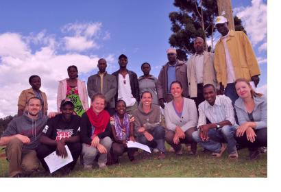
For UN-SPIDER's work, one of the core challenges is to demonstrate the usefulness and effectiveness of space-based information when dealing with partners who are not yet involved in the use of such data and therefore not familiar with its applications. For the Humanitarian Open Street Map team, a network of volunteers involved in crowdsourced mapping, this challenge is no different. In a recent article on their website, the network describes how the challenge of engaging with non-spatial partners can be tackled.
Volunteer Stephane Henriod points out: "When presenting OpenStreetMap to stakeholders who are not engaged in GIS or mapping, the challenge is to demonstrate what it can concretely bring to their daily activities. While everyone agrees that a map is quite a nice and fancy tool for not getting lost in the bush while traveling to remote areas, very few organizations fully see the relevance of spatial data in their programmatic areas. The answer often lies in a thorough understanding of their activities and requires a translation of our spatial concepts and tools into non-technical demonstrations and examples."
By showing real-world examples to partners, such as the mapping of vulnerable infrastructures, the use of geo-spatial data becomes much more tangible: "Our interlocutors have been extremely receptive to our demonstrations and confessed that they long had the wish to map their activities but it all looked like rocket-science." The article refers to two concrete examples from working with partners in Kenya and with representatives from the international humanitarian aid community.

