• English
  • Español
  • Français

United
Nations


Office for Outer Space Affairs
UN-SPIDER Knowledge Portal

  • Home
  • About Us
    • What is UN-SPIDER?
    • About UNOOSA
    • Publications
    • Jobs
    • Meet the Team
    • Contact
  • Space Application
    • Satellite Technology
    • Emergency Mechanisms
    • Recovery Mechanisms
    • International Asteroid Warning Network
    • Space Mission Planning Advisory Group
    • International Space Weather Initiative
    • Space Technologies in the UN
    • User Stories
  • Links & Resources
    • Data Applications
      • Disaster Recovery
    • Data Sources
    • GIS and Remote Sensing Software
    • Online Learning Resources
    • Institutions
  • Risks & Disasters
    • Disaster Risk Management
    • Early Warning Systems
    • Emergency and Disaster Management
    • Natural Hazards
    • Sendai Framework
    • The UN and Disaster Risk Management
    • The UN and Early Warning
    • The UN and Disaster Management
  • Advisory Support
    • Advisory Missions
    • Emergency Support
    • Virtual Advisory Support
    • Recommended Practices
    • Training Activities
    • Practical Uses
  • Network
    • Regional Support Offices
    • GP-STAR
    • MHEWS
    • IWG-SEM
  • Projects
    • SPEAR
    • SEWS-D
    • EvIDENz
    • Flood GUIDE
  • News & Events
    • News
    • Events Calendar
    • UN-SPIDER Events Archive

Breadcrumb

  • Home
  • News and Events
  • View Active News
  • IGAC: First International Seminar On Remote Sensing
  • IGAC: First International Seminar on Remote Sensing

IGAC: First International Seminar on Remote Sensing

The Master's programme in Remote Sensing of the Catholic University of Manizales of Colombia and UN-SPIDER's Regional Support Office in Colombia, IGAC, will organize their first international seminar on remote sensing from 8 to 10 May 2014 on the premises of the Catholic University of Manizales.

The seminar is embedded in a strategy to streamline and promote this research area and further develop technologies to process and analyze remotely sensed data.

The seminar focuses on topics such as the application of remote sensing in risk management, specifically in the prevention of forest fires, erosion, deforestation and desertification, as well as in the context of land use and environmental management. This seminar will be carried out by institutions and instructors with extensive knowledge and international experience.

The seminar represents a great opportunity for the development of professionals and institutions on the national and international level, which are interested in strengthening their knowledge in remote sensing, and its usefulness in different applications that are of great interest for economic and social development of countries.
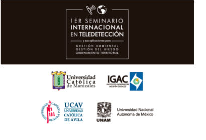
 

UCM
Fri, 25 Apr 2014 - 11:28
Colombia
Colombia Regional Support Office

Footer menu

  • Contact
  • Terms of Use

User account menu

  • Log in