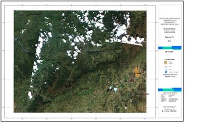
UN-SPIDER's Regional Support Office in Colombia IGAC (Agustin Codazzi Geographic Institute) is currently working on elaborating approaches of using remote sensing and GIS for monitoring soil erosion. Reducing land degradation is a major issue for the environment and sustainable development in the XXI century. Erosion is the main cause for the degradation of soils and rock in Colombia. Experts estimate that approximately 60% of the country are affected by a meaningful degree of erosion. In consequence, the Ministry of the Environment and Sustainable Development of Colombia (MAVDT) created the “following and monitoring for the land degradation program”.
One of the main goals of the programme consists in mapping the erosion grade (light, moderate, severe and strong) in Colombia on a scale of 1:100.000. This map is being built with RapidEye satellite images trough visual interpretation. This research shows two image processing methods to identify the degree of degradation.
LMSA – LMSA is a precise method for calculating land covers, in this case land degradation. But is necessary to understand this concept and make field trips in order to relate the R and C values. LMSA can be understood as an end-member (spectral signature) that takes into consideration all bands of an optical sensor and therefore allows to make a connection to any coverage.
USLE Equation – USLE is applied based on rainfall erodibility, soil erodibility, topographic and vegetation. In Colombia, there is enough data to estimate the erosivity, topographic and vegetation on a scale of at least 1:100.000. However, there is a major constraint: Studies of soil in Colombia lack the necessary variables to estimate accurately erodibility.
Further information can be obtained from Elena Posada (Leader of Department, IGAC): epossada [at] igac.gov.co (epossada[at]igac[dot]gov[dot]co)

